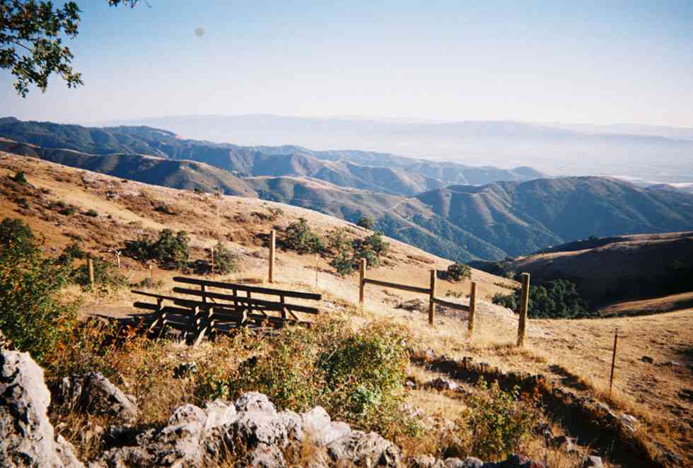
View from Fremont Peak, south of San Juan Bautista (photo by Wild Recovery) — great views await at the top!
Mark your calendars: The Fremont Peak Run has returned! Located in the Gavilan Mountains south of San Juan Bautista, Fremont Peak offers beautiful views of Monterey Bay and the valleys and mountain ranges around it. On Sunday, July 6th, we'll run to the 3,169 ft. summit and picnic at the top.
This supported, all-uphill road run is a longstanding Track Club tradition. Sag wagons will carry fuel, water, and picnic supplies. The main route is 11 paved miles from parking area to summit, but there are a number of ways to shorten or extend the run if you want to do a different distance. As always, all abilities welcome. Please don't hesitate to call or e-mail Diane Delucchi (delucch@yahoo.com/831-345-9399) if you have any questions, or if you want to volunteer to drive a sag wagon— we'd love to have your help!
Details: We'll meet on Sunday at 7 a.m. at Aptos Station (i.e., the same place we meet for our regular Nisene runs) and carpool/caravan south to the start location for the Fremont Peak climb on San Juan Canyon Road. Bring something to share for the picnic!
Directions to Fremont Peak State Park: From Highway 101, about 11 miles south of Gilroy, take the eastbound Hwy 156 exit. Go 3.0 miles to a traffic light, then turn right onto county Hwy G-1 (San Juan Canyon Road). You can get a map of the area and learn more about the park here.
 RSS Feed

